
A paper may give you information, but it’s out of date the moment it is printed. Today’s public works agencies cannot afford to use paper and methods from decades before computers existed. What the public works industry demands now is real-time, location-relevant, digital information available anytime, anywhere, to anyone. In this session, participants will learn how GIS can improve field data collection and transform that activity into live streams of information to make better decisions across your agency. Enhance the entire fieldwork process, including planning, coordination, navigation, understanding, capturing, and monitoring. Use GIS to provide actionable maps and apps to mobile workers for improved fieldwork safety, efficiency, and accountability. After this session, participants will be able to:
• Educate public works professionals on emerging technology trends and how to apply them.
• Introduce emerging technology trends to industry leaders and subject-matter experts who can provide transferable techniques.
• Provide meaningful strategies that can be deployed within their organizations.
Contributor/Source
Jason Latoski
Related Resources

Proficiency Levels
Introductory
Focuses on a general or broad overview of the topic, awareness of basic factual recall. Limited experience of the subject matter is necessary to understand content areas.
Applied
Focuses on practical implementation of technical steps or strategies, some prior knowledge and experience of the topic is necessary.
Advanced
Mastery of basic concepts associated with an area has been obtained. Focuses on understanding nuances, advanced concepts, and intricacies with implementation within knowledge area. Strong understanding of how the concept impacts other factors or areas of operations.
Program Types
CLL
Click, Listen & Learn (CLL) are interactive educational webinars. Each program is led by top experts in the field who share new ideas, methods, and technologies in a fast-paced two-hour time frame. These programs are available free to APWA members. CLL programs are eligible for continuing education units (CEUs).
Primer
Primers are used to educate policymakers about public works roles and responsibilities in public rights of way, the impact of federal workforce development policies on the industry and workforce, and the importance of resilient infrastructure.
Public Works Radio Podcast
Public Works Radio is the official podcast of the American Public Works Association (APWA), bringing the stories behind our communities to life. This podcast shines a spotlight on the people and projects that keep our cities running—humanizing the work and the professionals who make it happen. Each episode dives into a wide range of topics designed to educate and inspire, making public works more visible to everyone.
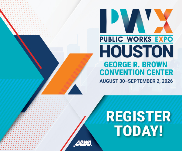
PWX
PWX session recordings cover a wide variety of topics, including integrating modes of transportation, traffic and transit, construction management, emergency management, engineering and technology, fleet and facilities, management, parks and grounds, snow and ice control, and stormwater/flood control, as well as solid waste, roads and bridges and water/wastewater. PWX sessions are eligible for continuing education units (CEUs).
Reporter Articles
APWA Reporter articles are written by public works practitioners on subjects such as solid waste management, water resources, municipal engineering, transportation, equipment services, buildings and grounds, snow removal, and other public works-related topics.
Snow
The Snow Conference session recordings feature public works professionals sharing the latest best practices in managing winter/snow operations more successfully, taking advantage of emerging technologies, understanding and preparing for the challenges ahead, and providing better service to their communities. Snow sessions are eligible for continuing education units (CEUs).
Tech Boxes
A tech box is a PDF take-away that provides information in lists, steps, or defined areas specifically focused on trending technologies.
Virtual Program
Virtual programs are live, interactive educational programs led by top experts in the field who provide timely information or address trending topics within an area. Programs often conclude with an open forum for Q&A.