

Wednesday, September 2, 2026
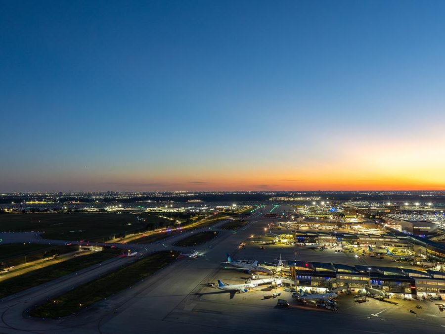
Ellington Spaceport (Ellington Airport)
Location: 11602 Aerospace Ave, Houston, TX 77034
Capacity: 50 participants
Explore Ellington Spaceport, a City of Houston-owned aviation and aerospace hub that has evolved from a historic military airfield into a multi-use airport and FAA-licensed commercial spaceport. This tour highlights how public infrastructure supports aerospace operations, national defense, and regional economic development.
Attendees will see how airfield pavements, utilities, stormwater systems, roadways, and intermodal connections are planned and maintained to support safe, resilient operations.
What you will learn: How aviation infrastructure supports emerging spaceport activity, which public works systems are critical to joint-use airport operations, and how long-range planning drives modernization and growth.
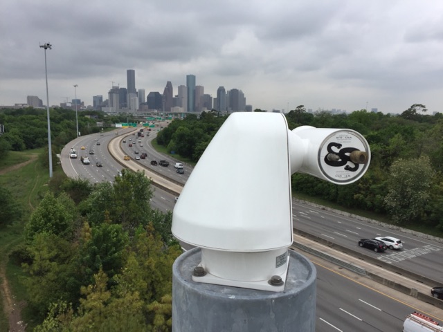
Houston TranStar
Location: 6922 Katy Road, Houston, TX 77024
Capacity: 25 participants
Visit Houston TranStar, the region’s multi-agency transportation and emergency management center, where the City of Houston, Harris County, METRO, and TxDOT work together to monitor traffic, roadway flooding, incidents, and major emergencies around the clock.
This tour offers a behind-the-scenes look at integrated operations, including camera and sensor monitoring, dynamic messaging, and coordinated incident and flood response that improve regional mobility and public safety.
What you will learn: How agencies coordinate transportation operations and emergency response at a regional scale, how real-time data improves safety and congestion management, and the public works role in supporting intelligent transportation systems and traveler information services.
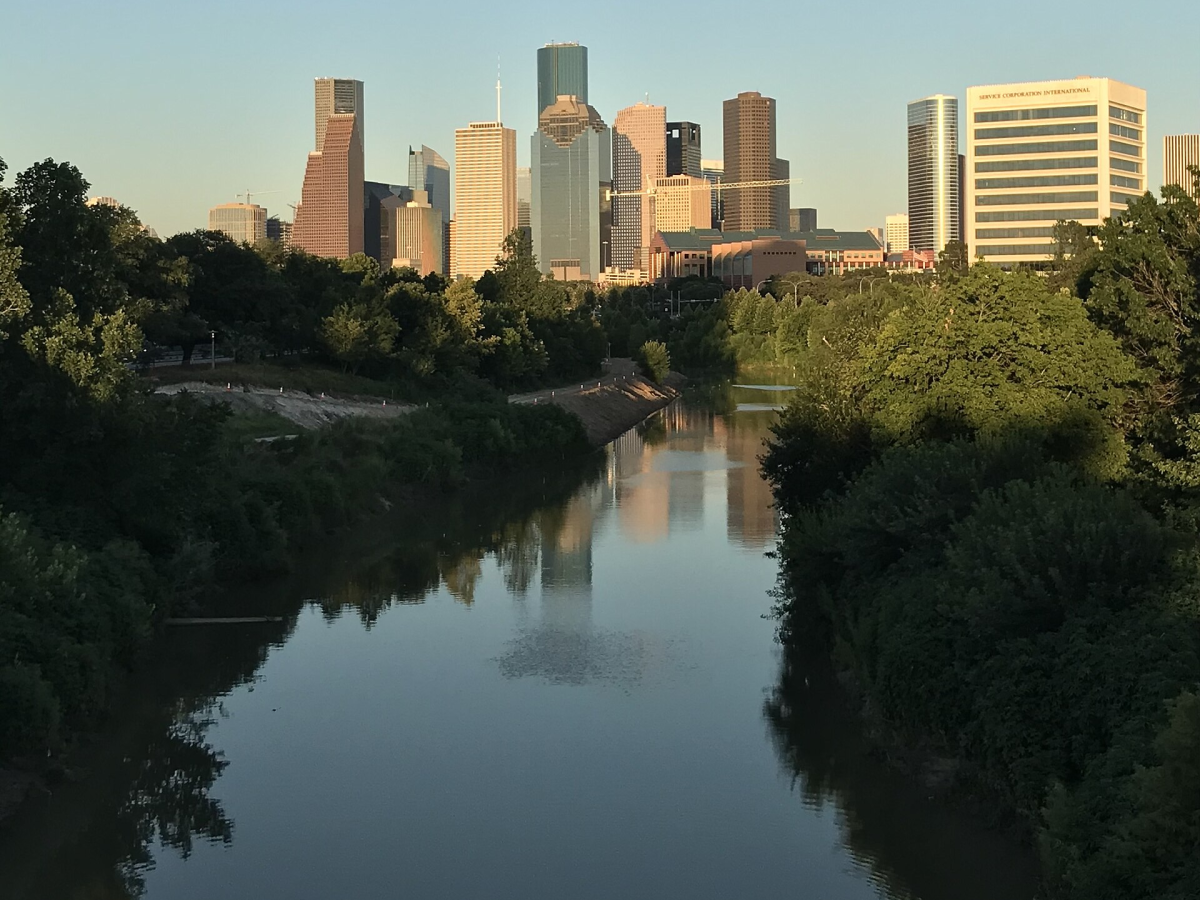
Buffalo Bayou Park Cistern and Downtown Tunnel Tour
Location: 105-B Sabine St, Houston, TX 77007 and beneath Downtown Houston
Capacity: Two groups of 30 participants (first group departs at 10:00 a.m.; second group departs at 10:30 a.m.)
This combined tour explores two distinct parts of Houston’s underground infrastructure: the Buffalo Bayou Park Cistern, a former municipal drinking water reservoir repurposed as a public space, and the Downtown Tunnel System, an extensive below-grade pedestrian network that supports mobility in the urban core.
Participants will learn how infrastructure lifecycle decisions, adaptive reuse, climate resilience, and extreme weather planning shape these systems and their continued value to the city.
The tour offers a practical look at how below-grade infrastructure can be preserved, repurposed, and managed to support resilience, mobility, and downtown functionality.
What you will learn: The differences between public and private stewardship of underground infrastructure, how lifecycle decisions affect long-term use, and how below-grade systems contribute to resilience and city operations.
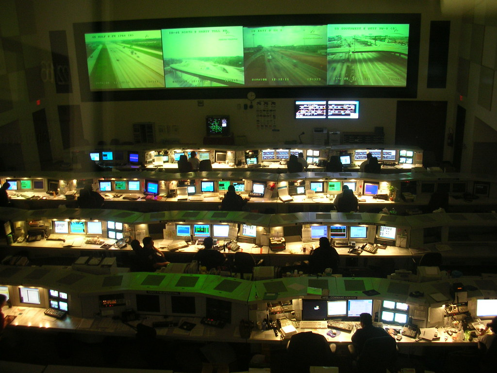
METRO Rail Operations and Control Center
Location: 1900 Main St, Houston, TX 77002
Capacity: 50 participants
Tour Houston’s METRO Rail Operations and Control Center and see how the region’s light rail system supports daily mobility through coordinated transit operations, roadway integration, pedestrian access, utilities, and traffic control systems.
Participants will gain insight into how infrastructure design, fleet operations, maintenance, drainage, and signal coordination work together to support safe, efficient, and reliable transit service in a dense urban environment. Safety vests and closed-toe shoes are required.
What you will learn: The infrastructure components that support light rail service, how transit systems coordinate with roadway and utility networks, and the operational strategies used to maintain reliability and support future expansion.